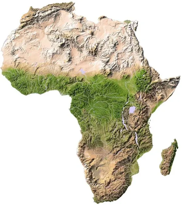
A historic vector field map of the Atlantic Ocean basin, rendered as a dense grid of directional arrows showing wind patterns and ocean currents across both hemispheres. The line work captures the gyre circulations, equatorial divergence, and the convergent fan of arrows at the South Atlantic high-pressure center. DXF, SVG, and PDF formats included, ready for world map decor, travel keepsakes, and country map art.
Includes DXF, SVG and PDF formats
100% free for personal and commercial use. No attribution required. Sign in with your email to download.
Works with Glowforge, xTool, LightBurn, AutoCAD, Fusion 360, Inkscape and more.

Upload any image and get a production-ready vector file in minutes
This Atlantic Wind and Ocean Current Map DXF and SVG file is production-ready and compatible with all major CNC machines including CO2 laser cutters, diode lasers, fiber lasers, CNC routers, plasma cutters, waterjet cutters, vinyl cutters, and cutter plotters. Works with Glowforge, xTool, Epilog, OMTech, Thunder Laser, Boss Laser, Ortur, Atomstack, Snapmaker, Cricut, Silhouette, Roland, Graphtec, Hypertherm, PrimeWeld, and all other machines that accept standard DXF or SVG vector formats.
Adobe Illustrator, CorelDRAW, Inkscape, AutoCAD, Fusion 360, SketchUp, Rhino, LightBurn, VCarve Pro, Aspire, Carbide Create, Easel, LaserGRBL, Mach 4, LinuxCNC, SheetCam, PlasmaCAM, CamBam, Cricut Design Space, Silhouette Studio, Sure Cuts A Lot, and most other vector editing or CAM software.
Wood, plywood, MDF, bamboo, cork, acrylic, foam, metal, mild steel, stainless steel, aluminum, brass, copper, leather, paper, cardstock, cardboard, vinyl, fabric, and most other materials supported by your cutting machine. Files are fully editable and can be scaled to any dimension to suit your project.
Projects
Converters